May 30th, 2025 by WCBC Radio
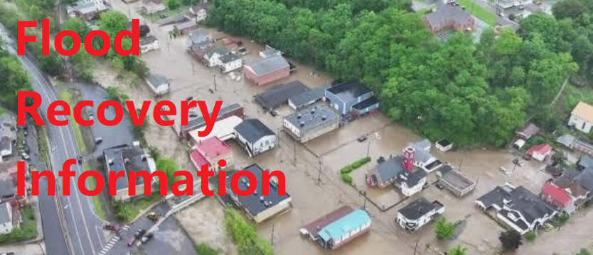
National Weather Service has issued a FLOOD WATCH IN EFFECT FROM THIS EVENING THROUGH LATE TONIGHT…
Flash flooding caused by excessive rainfall continues to be possible in portions of north central Maryland, including the following area, Washington, Virginia, including the following areas, Augusta, Central Virginia Blue Ridge, Clarke, Eastern Highland, Frederick VA, Northern Virginia Blue Ridge, Page, Rockingham, Shenandoah, Warren and Western Highland, and West Virginia, including the following areas, Berkeley, Eastern Grant, Eastern Mineral, Eastern Pendleton, Hampshire, Hardy, Jefferson, Morgan, Western Grant, Western Mineral and Western Pendleton.
Excessive runoff may result in flooding of rivers, creeks, streams, and other low-lying and flood-prone locations. Flooding may occur in poor drainage and urban areas.
ADDITIONAL DETAILS
As a slow-moving frontal system tracks across the area, multiple rounds of showers and thunderstorms are possible. While initially posing a severe weather threat, a shift to a slow moving complex of moderate to heavy rain unfolds into the evening and night. Storm totals could reach 2 to 3 inches, locally nearing 4 inches in spots. Please visit www.weather.gov/safety/flood for flood safety and preparedness information
PRECAUTIONARY/PREPAREDNESS ACTIONS
You should monitor later forecasts and be prepared to take action should Flash Flood Warnings be issued.


